|
D&D Travel's - Grand Canyon West and AZ Route 66 A mid-March visit along US Route 66 in Seligman, Arizona and to Grand Canyon West via Peach Springs... images copyright © 2017, Dennis A. Hubbs |
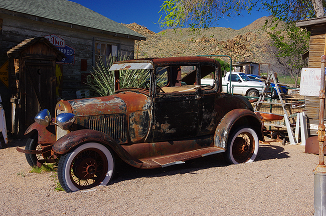
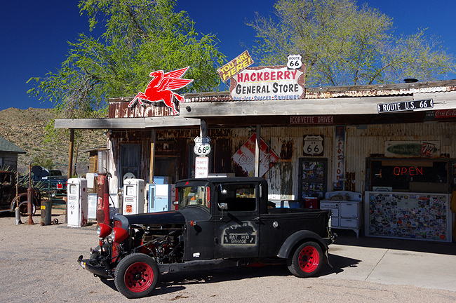 The Hackberry General Store (and Route 66 Museum), Hackberry, AZ... |
 |
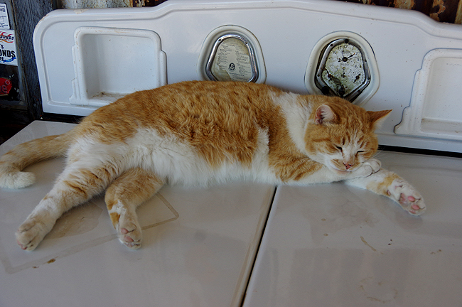 Charlie - taking a mid-day break at the store! |
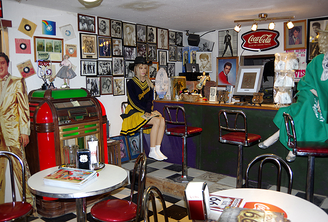
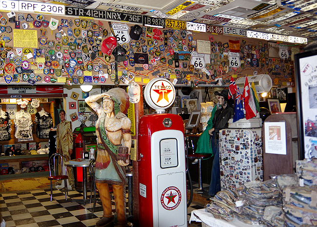 Above & below: Inside the "Museum" - originally started and owned by Route 66 Artist Bob Waldmire, who passed away some years ago...The store has had several subsequent owners. |
 |
 |
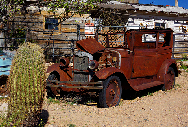 |
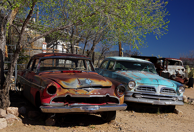
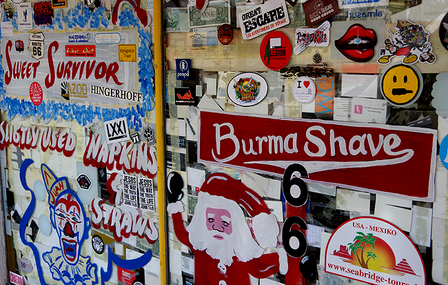
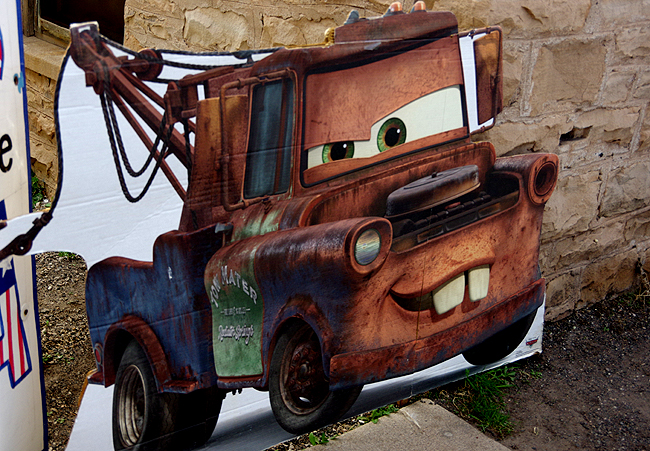
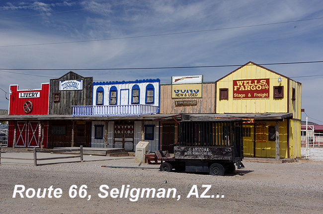 Continuing east to Seligman - a great blast from the past!! |
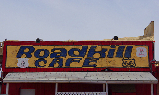 Ahh...the old Roadkill Cafe..."You Kill 'em, We Grill 'em" Good food actually!! |
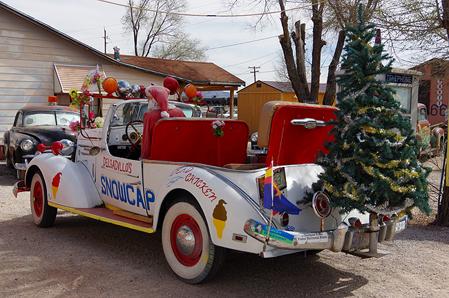
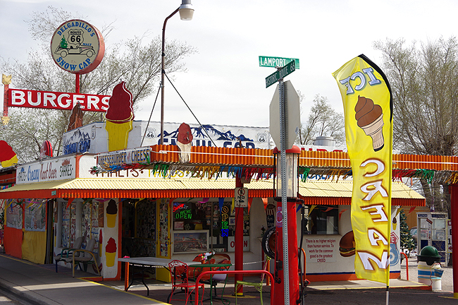 ...and of course, Delgadillo's Snow Cap Drive-in! Watch out for the 'ole fake Mustard splatter trick! |
 |
 |
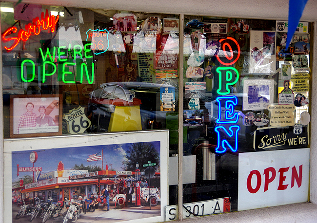 Gotta LOVE that "Sorry, We're open!" sign at the snow cap! |
 |
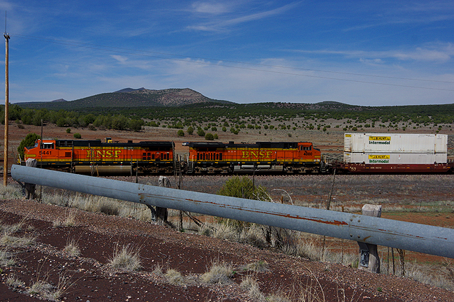
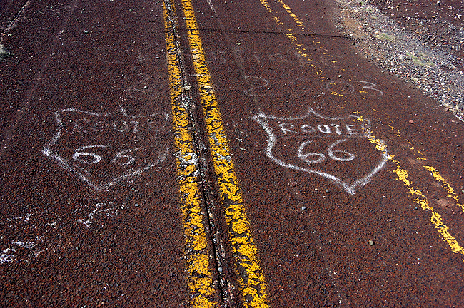 Above and below - at the Crookton Overpass between Seligman and Williams...Original 30's pavement survives on an old, unused alignment just a few feet off the "new" 66 as a BNSF freight train roars by underneath the old and new bridges...Freight moves 24 hours a day on these tracks |
 |
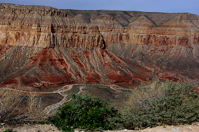
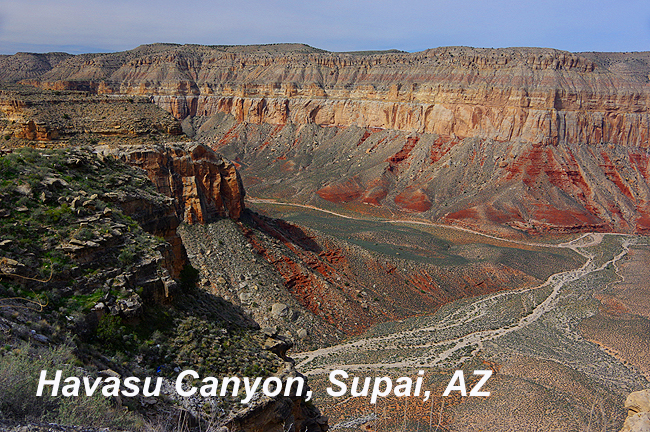 At the end of Indian Road 18, north out of Peach Springs, you'll come to Supai, where a trail leads down into the bottom of the western reaches of the Grand Canyon. From here, both hiking and mule treks begin with Indian accommodations waiting at the bottom...Not a hike for the weaker folks!!! |
 |
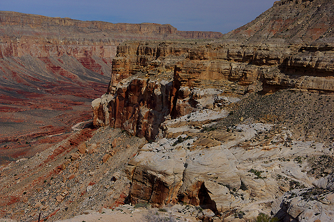 |
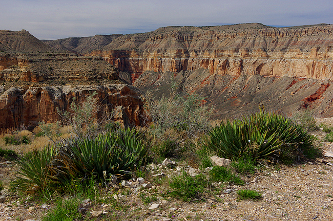
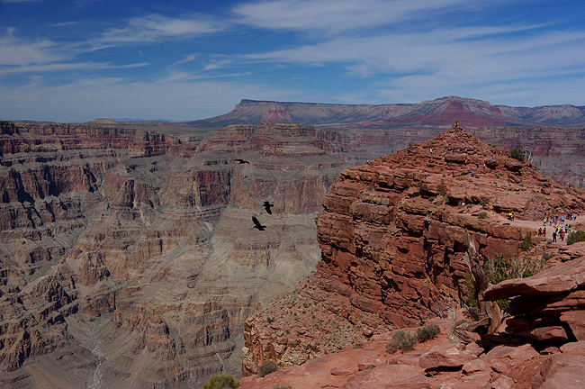
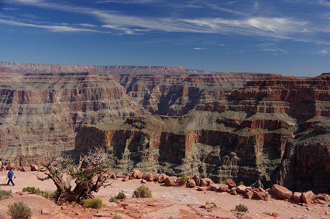
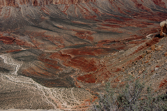 Incredible color, which changes with the day's light! |
 |
 |
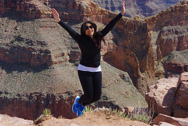
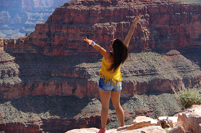 Above and below: Two lovely girls pose at the canyon's edge (there are NO guard rails here folks!) at Eagle Point, Grand Canyon West. This is the location of the SkyWalk - a glass-floored "U" that extends out from the canyon walls, with unobstructed views of the canyon floor 4000 feet below! (photography not allowed on the Skywalk). This and Guano Point are reached via shuttle bus from the GCW main terminal - cars are not permitted... |
 |
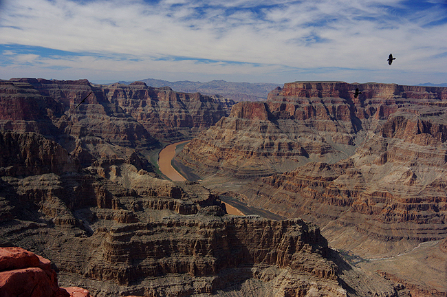
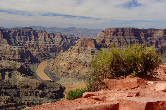
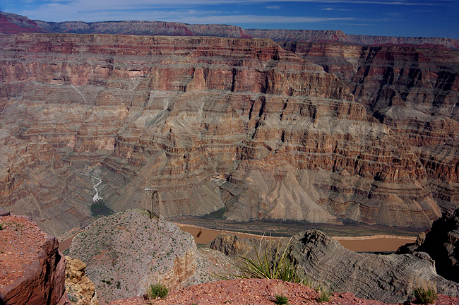
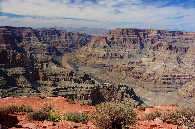 The Colorado River cuts through the canyon , seen from Guano Point, Grand Canyon West. The area is operated by the Hualapai Tribe, based in Peach Springs. Dawn Hubbs (Dennis' Cousin) is both the Tribe Archaeologist and Director of the Hualapai Cultural Center... |
 Guano Point offers the best (as you can see!) views of the western reaches of the Grand Canyon! |
 |
 |
 |
 |
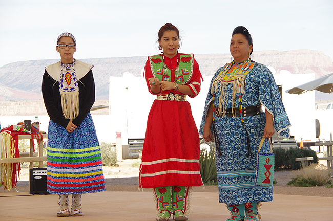
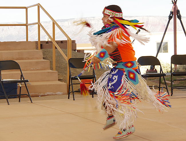
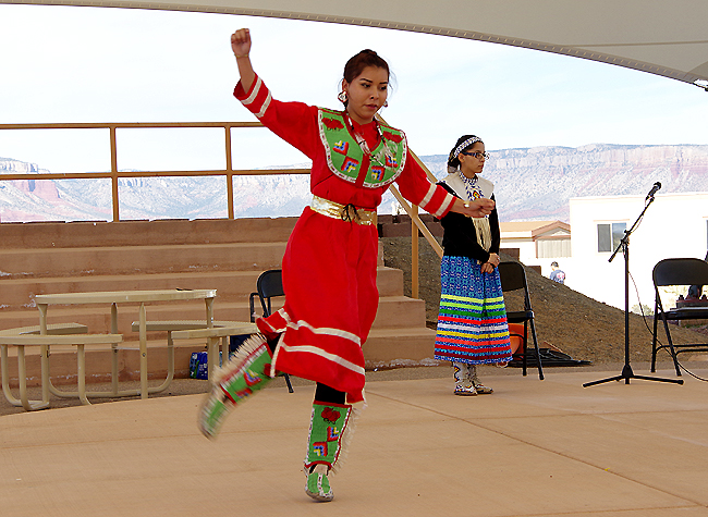 Above and next two below: At Eagle Point, Hualapai children perform traditional dance... |
 |
 |
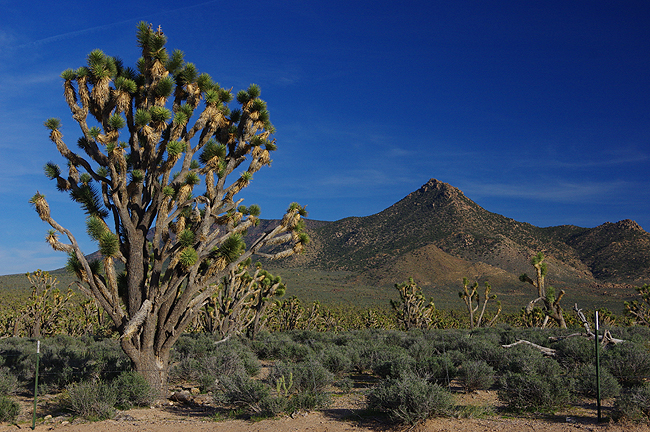
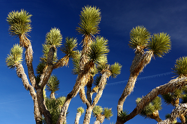
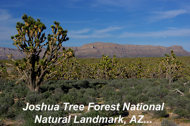 On the way to GCW, you will pass this beautiful spot along the road... |
 |
 |
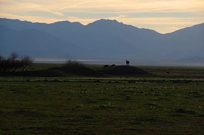 A steer guards his mound as others graze along US 66 toward evening...(Steven Hubbs photo) |
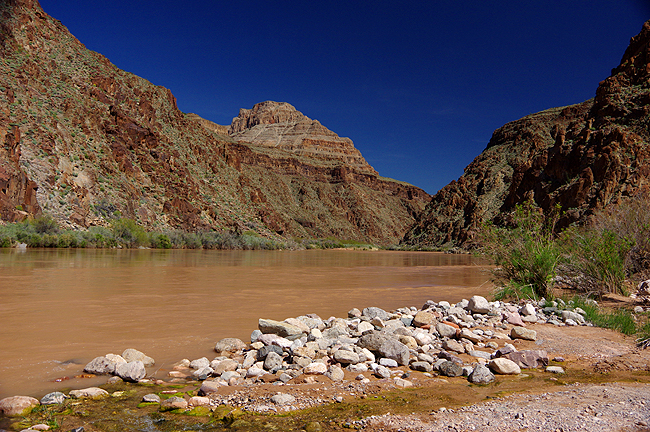
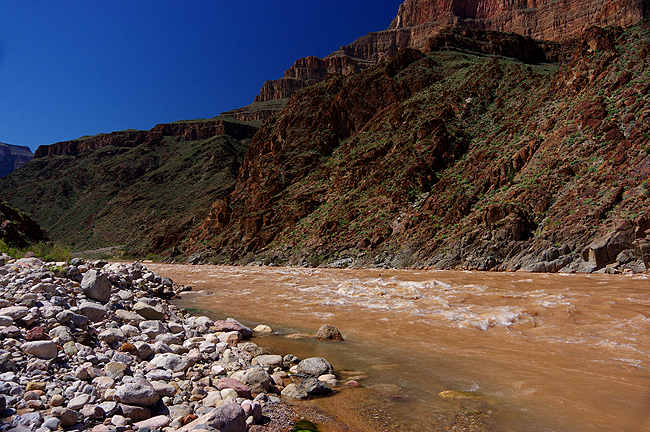
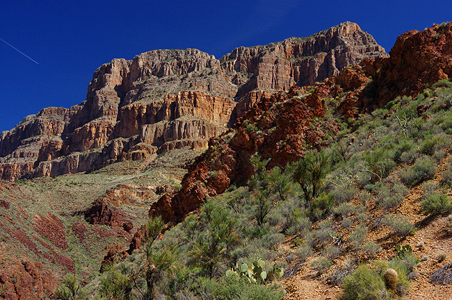
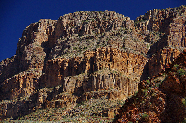
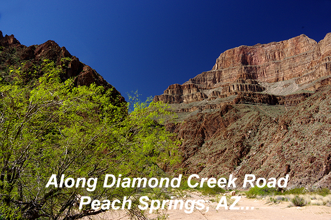 The only direct access by road to the bottom of the Grand Canyon's western reaches is north out of Peach Springs via a private Indian road, which requires a special permit (Thanks Dawn!!!)...You will see why the tribe protects this sacred area in the following images! |
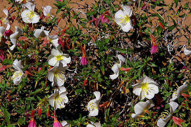 At the end of Diamond Creek Road - desert flowers bloom in mid-March! |
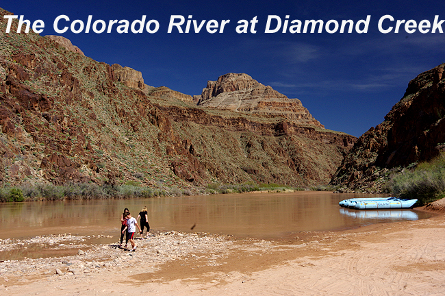 |
 Above, Diamond Creek flows clear, entering the Colorado River just ahead... |
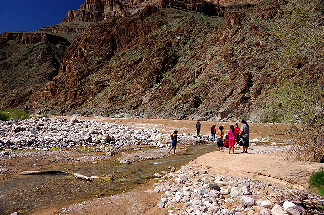
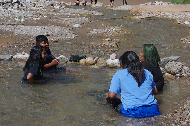
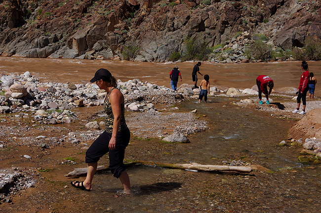 Both children from the Hualapai Tribe (on a school field trip) and a few other permittees soak their feet (and more) in Diamond Creek as it gently enters the mighty Colorado... |
 |
 |
 |
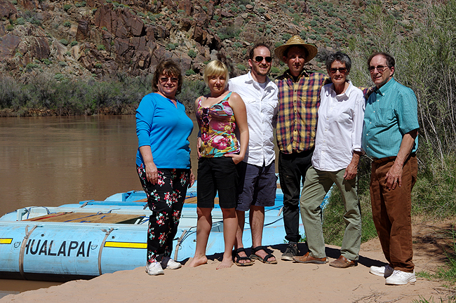 At the edge of the Colorado River: The Hubbs Clan - from L to R, Donna, Kristin, Steven, Jules, Dawn and Dennis (yeah - the old self-timer trick)! |
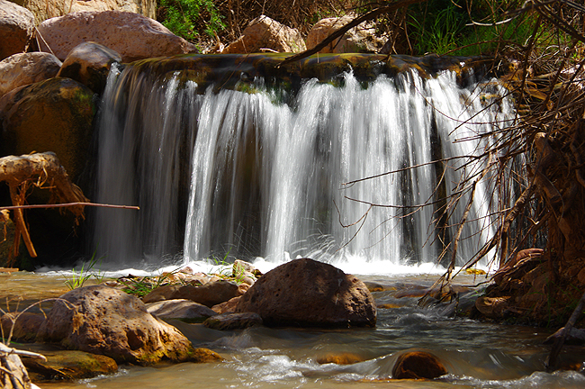
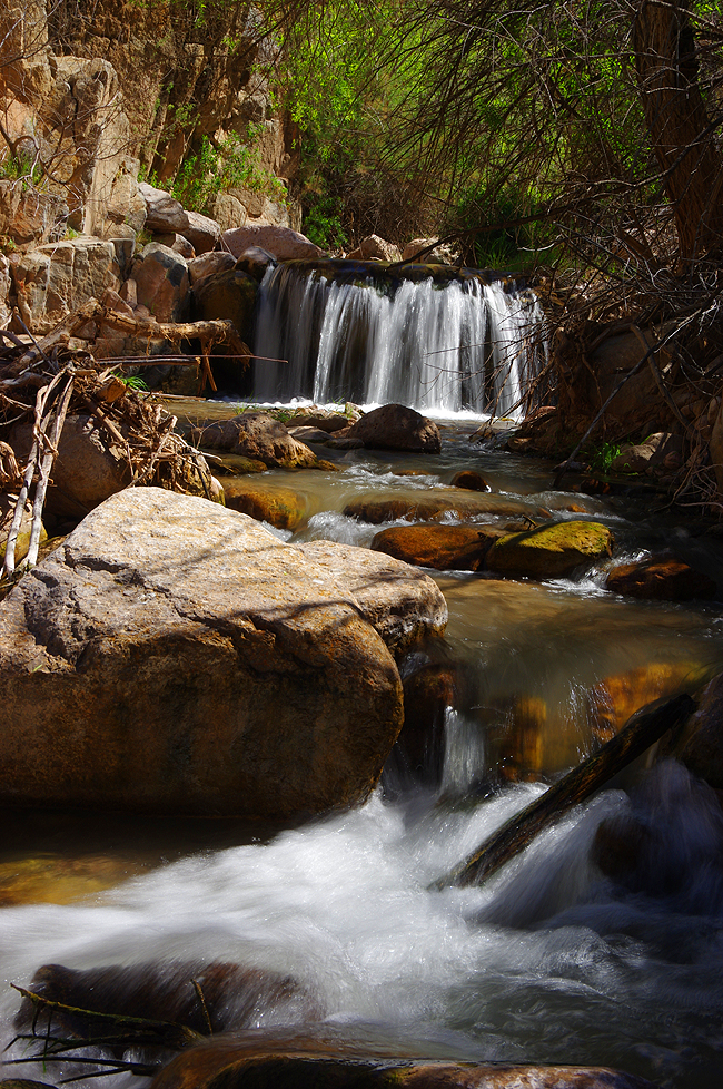 Above and below: Unexpected along Diamond Creek Road - A seasonal waterfall pours its way toward the Colorado River. The creek actually crosses the roadway in several places - best with a 4-wheel drive, high-clearance vehicle here (Thanks again Dawn!!!)... |
 |
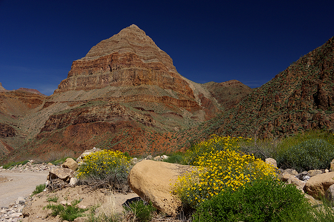 ...Diamond Point and (below) the area surrounding this peak... |
 |
 |
 |
| Thanks for your visit! We hope you enjoyed it... - Dennis & Donna |
|
Land Tours - Cruising - Travel Glossary - Gallery - Email Us |