|
A Visit to Death Valley National Park, California - March, 2017 - Presented by D&D Travel... Please note: There are a number of HQ images here - allow ample time to load! All images are copyright © 2017, Dennis A. Hubbs [home] |
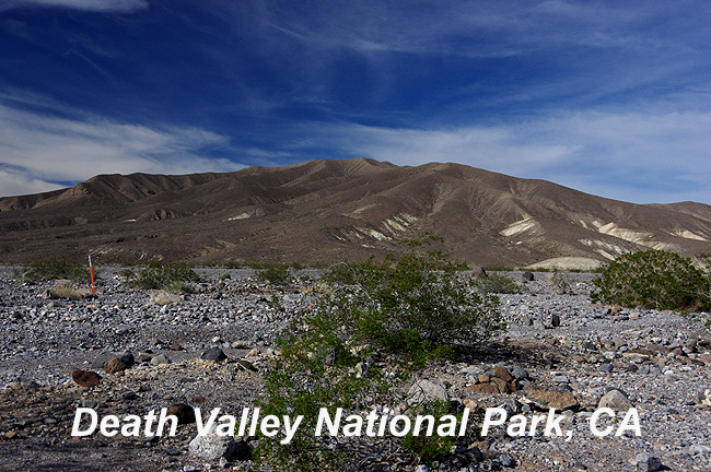 There are few places on Earth like Death Valley, California...from the lowest point in all of North America (Badwater, at 282 feet below sea level!), to the fascinating 770-foot deep Ubehebe Crater to the brightly-colored yellow rocks of Mustard Canyon. A Springtime visit will allow you to explore during tolerable heat and perhaps the Spring Super-bloom of wildflowers the valley experienced in 2016 will repeat itself again some day! Please enjoy this brief look at one of the most fascinating landscapes on the planet! - D&D |
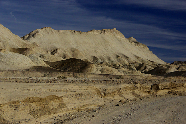 Along Twenty-Mule Team Canyon - a 2.7 mile one-way loop through other-worldly badlands! |
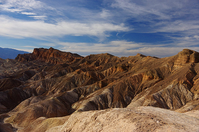
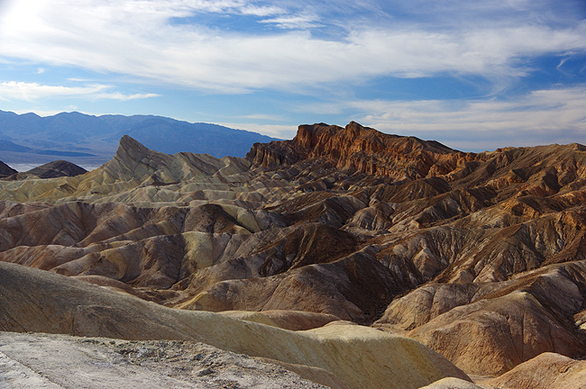
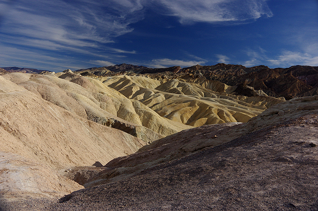 Above and next two images below: Incredible colors at Zabriskie Point - Perhaps the most famous of viewpoints in DVNP! |
 |
 |
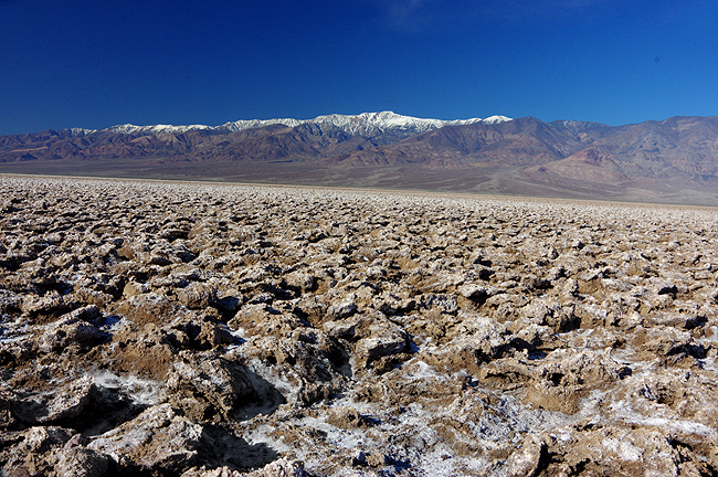
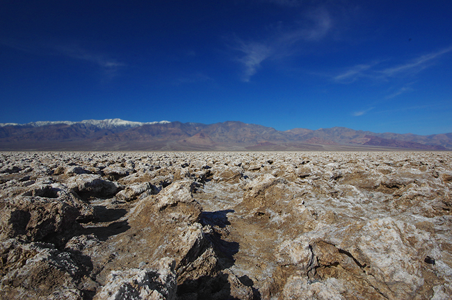
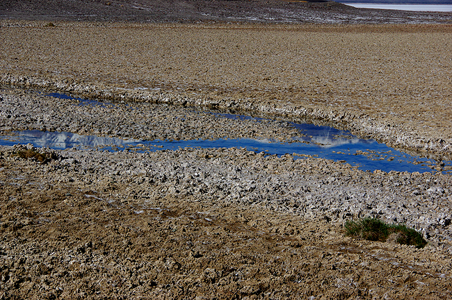
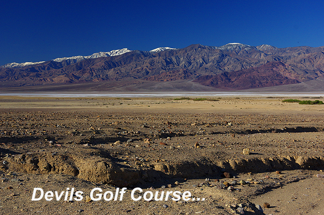 This terrain is a huge area of rock salt, eroded by rain and wind, creating the jagged spires you see in the next two photos below. You can even hear the salt crystals "pop" as they expand and contract in the day's heat! |
 |
 |
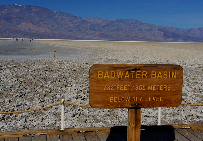
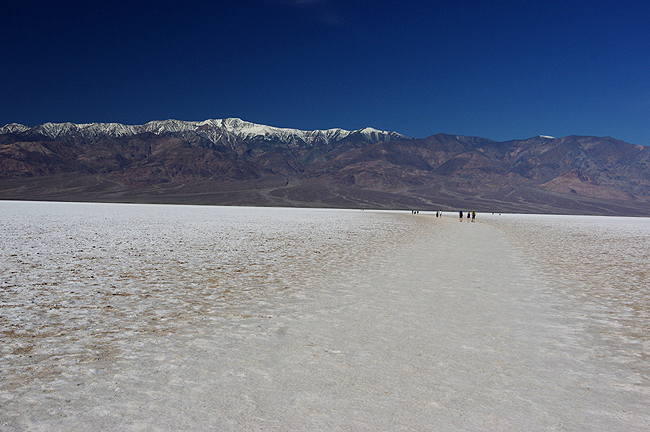
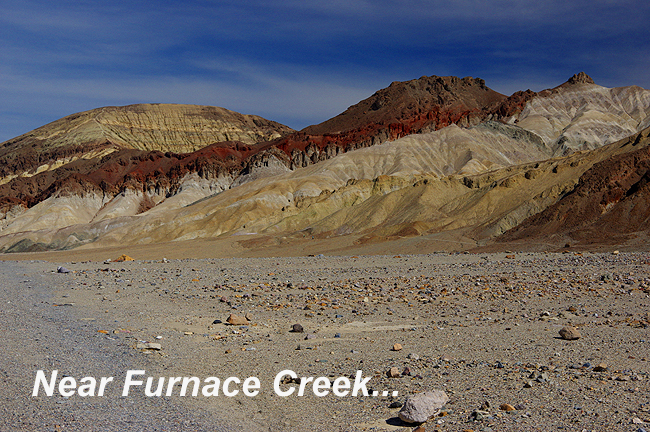
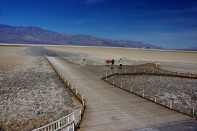 Above: Access to the salt flats of the Badwater Basin, about 18 miles south of Furnace Creek |
 |
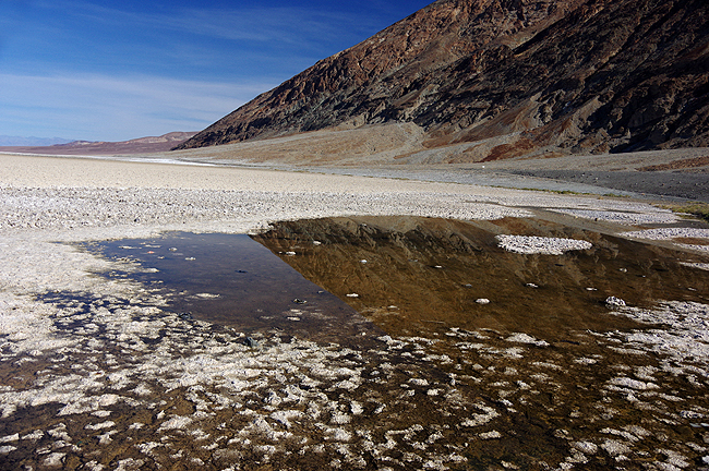 Above and below: Mountain and sky reflect in several still-wet areas of the basin... |
 |
 |
 |
 |
 |
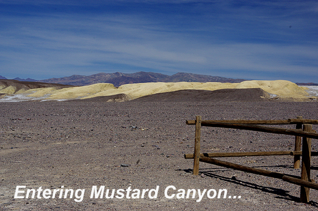 |
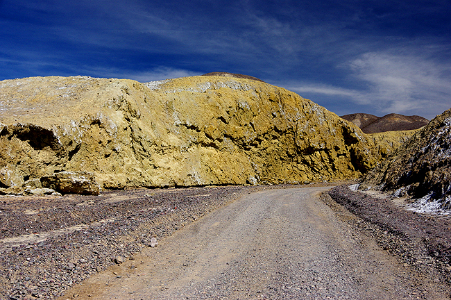
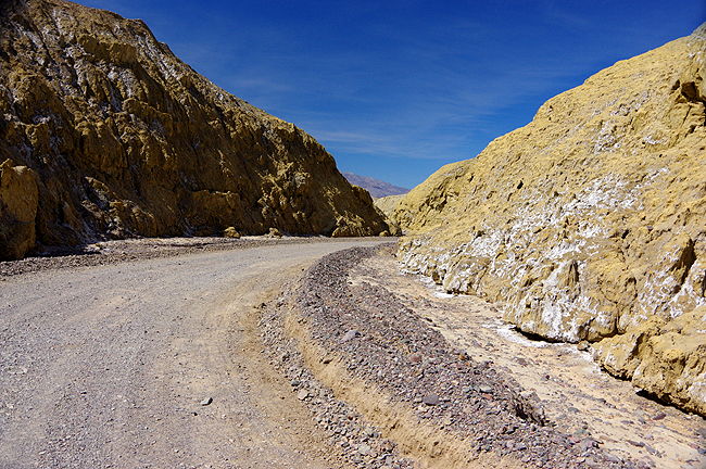
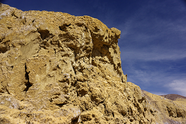
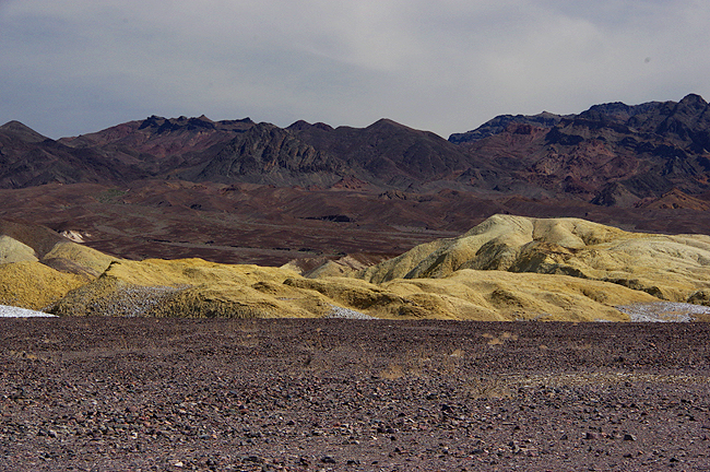 As you can see, Mustard Canyon is aptly named! |
 |
 |
 |
 |
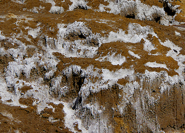
 Salt crystals cling to the hillsides along the road through Mustard Canyon... |
 |
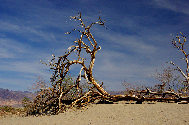
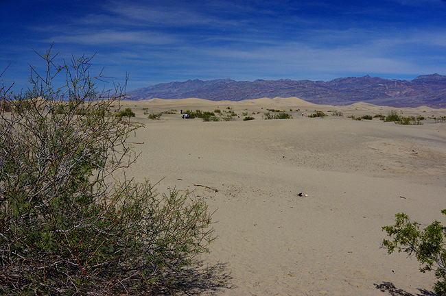
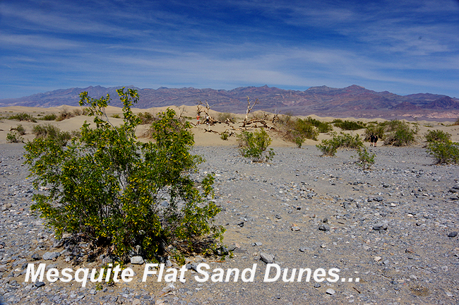 Containing crescent, star-shaped and linear dunes, the dunes of Mesquite Flat are the largest in DVNP (above and next 4 images below)... |
|||
 |
|||
 |
|||
 |
|||
 |
|||
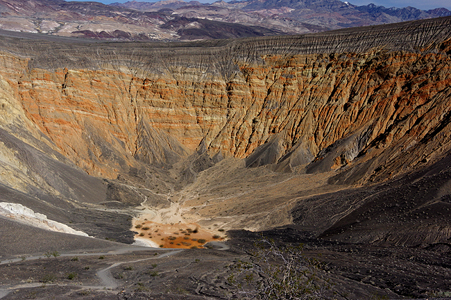
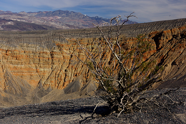
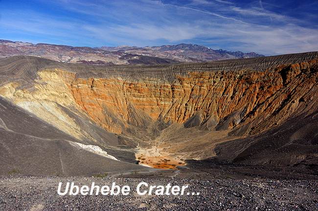 An unexpected treat in the northern portion of the park is Ubehebe Crater, a 770-foot deep hole created from a steam explosion between 2000 and 7000 years ago... |
|||
 |
|||
 |
|||
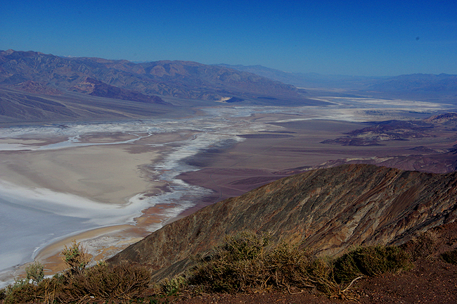
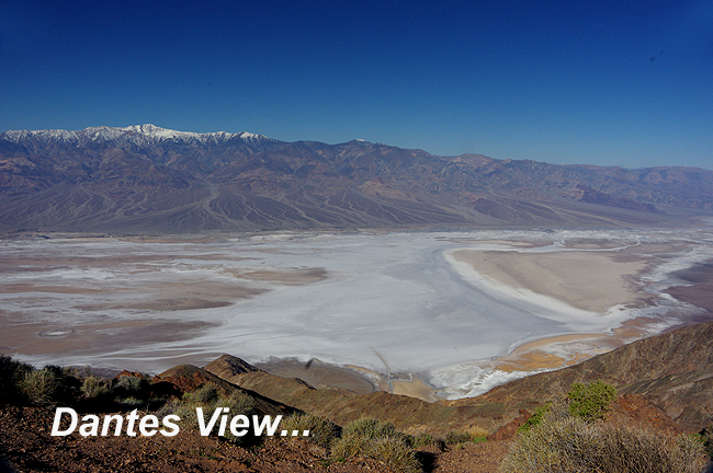 Looking northwest, the Badwater Basin and Death Vally, seen from Dantes View (at 5,475 feet), is said to be the most breath-taking spot in the park. The snow-capped mountains in the distance are the Panamint Range to the west. |
|||
 |
|||
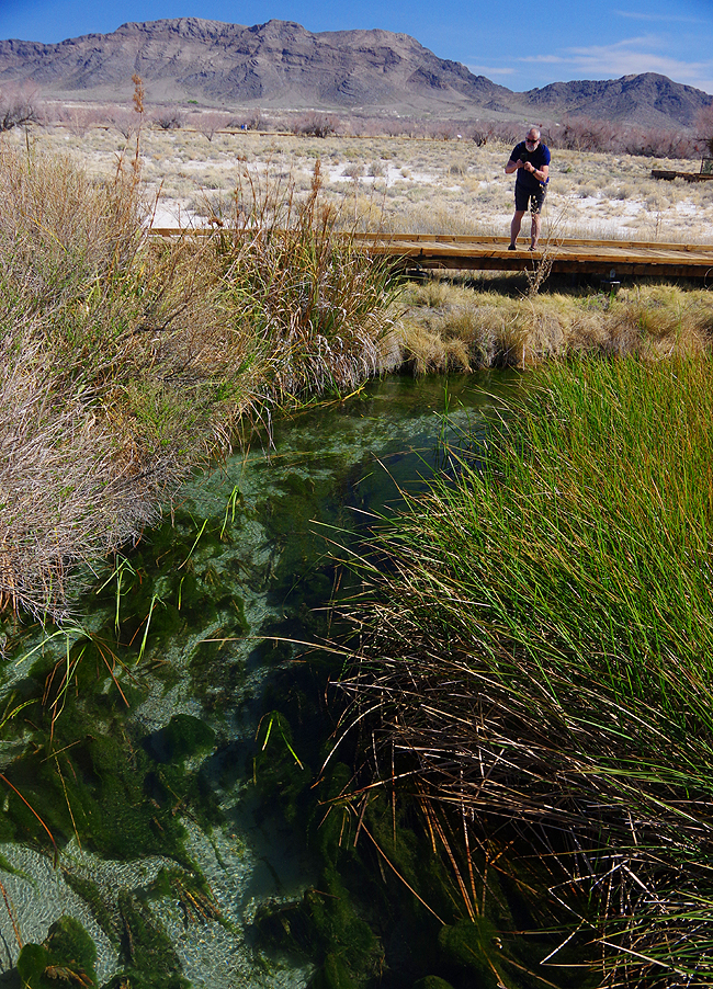
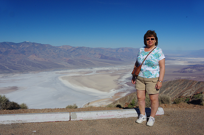 Donna enjoys the scenery from Dantes View!
|
|||
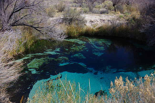
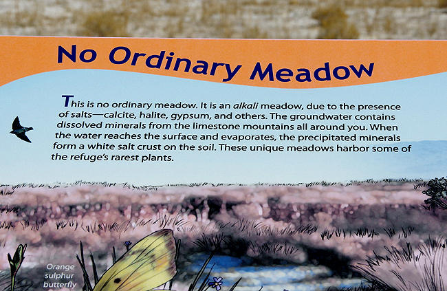
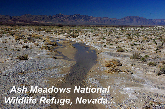 Just outside the eastern limits of DVNP and over the border into Nevada, a real jewel in the desert is Ash Meadows National Wildlife Refuge... |
|||
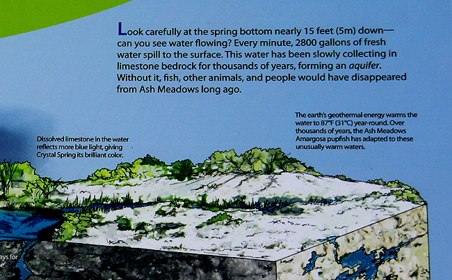
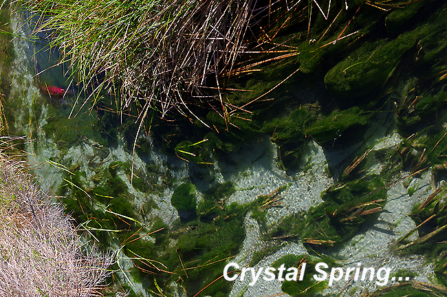 ...where Crystal Spring flows clear and cool in a brilliant Turquoise hue! Over 100 miles away, water enters a vast aquifer system. This "fossil" water takes thousands of years to move through the ground. Underground, a "dam" created by a fault forces the water upward in the form of 50+ springs and seeps! Year round, over 10,000 gallons of water flow per minute, mostly from 7 major springs in the area, supporting all manner of wildlife! |
|||
 |
|||
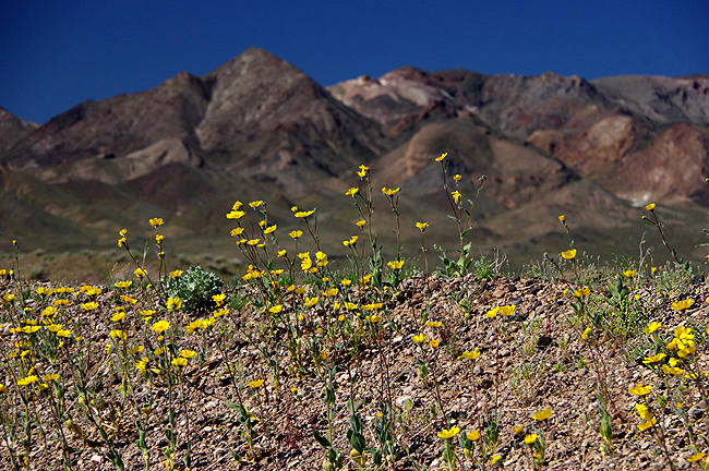
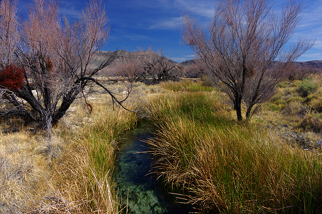 True beauty in the Amargosa Desert! |
|||
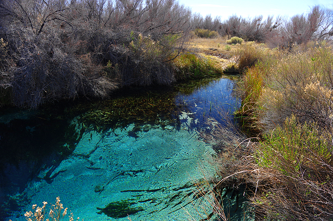
 Tiny Pupfish populate the stream, along with 3 other species and can easily be spotted if you look closely enough! |
|||
 |
|||
 |
|||
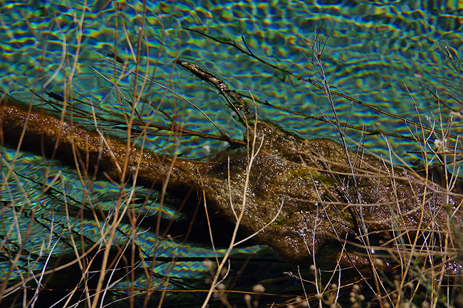 The flow of the springs causes the water's surface to break up the light into tiny prisms... |
|||
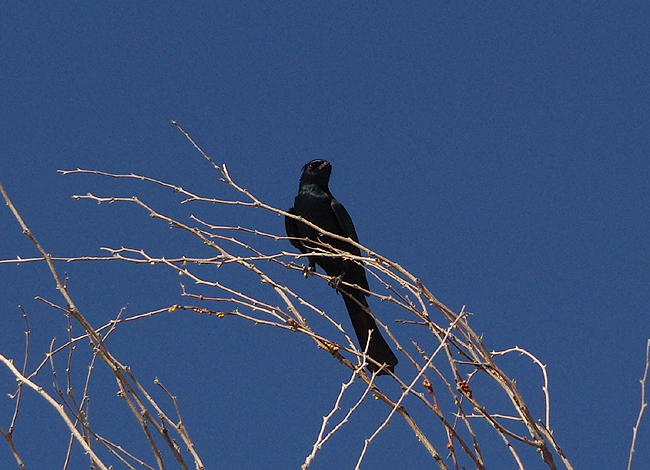 A lone, wary Phainopepla guards the boardwalk through the meadow. |
|||
 |
|||
|
|||
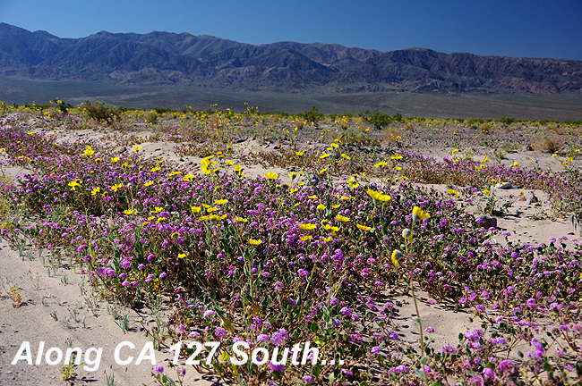
 South of Death Valley, also along Highway 127, on the way to Grand Canyon West, Arizona! |
|||